 Check out our new YouTube channel
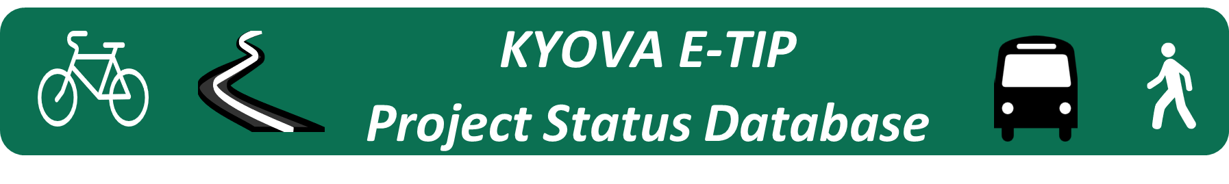
Curious about a project in your region? KYOVA’s E-TIP provides surface transportation project information for the KYOVA Planning Area. Project location, cost, funding source, map, etc., are a few areas that are available for viewing. Click the above Icon to access the database to search for projects.
Disclaimer: Please use the E-TIP for informational purposes only as project status is constantly changing, and the database may not reflect the most current data. If you have any questions, please contact the KYOVA staff at 304-523-7434.
PLEASE VOTE
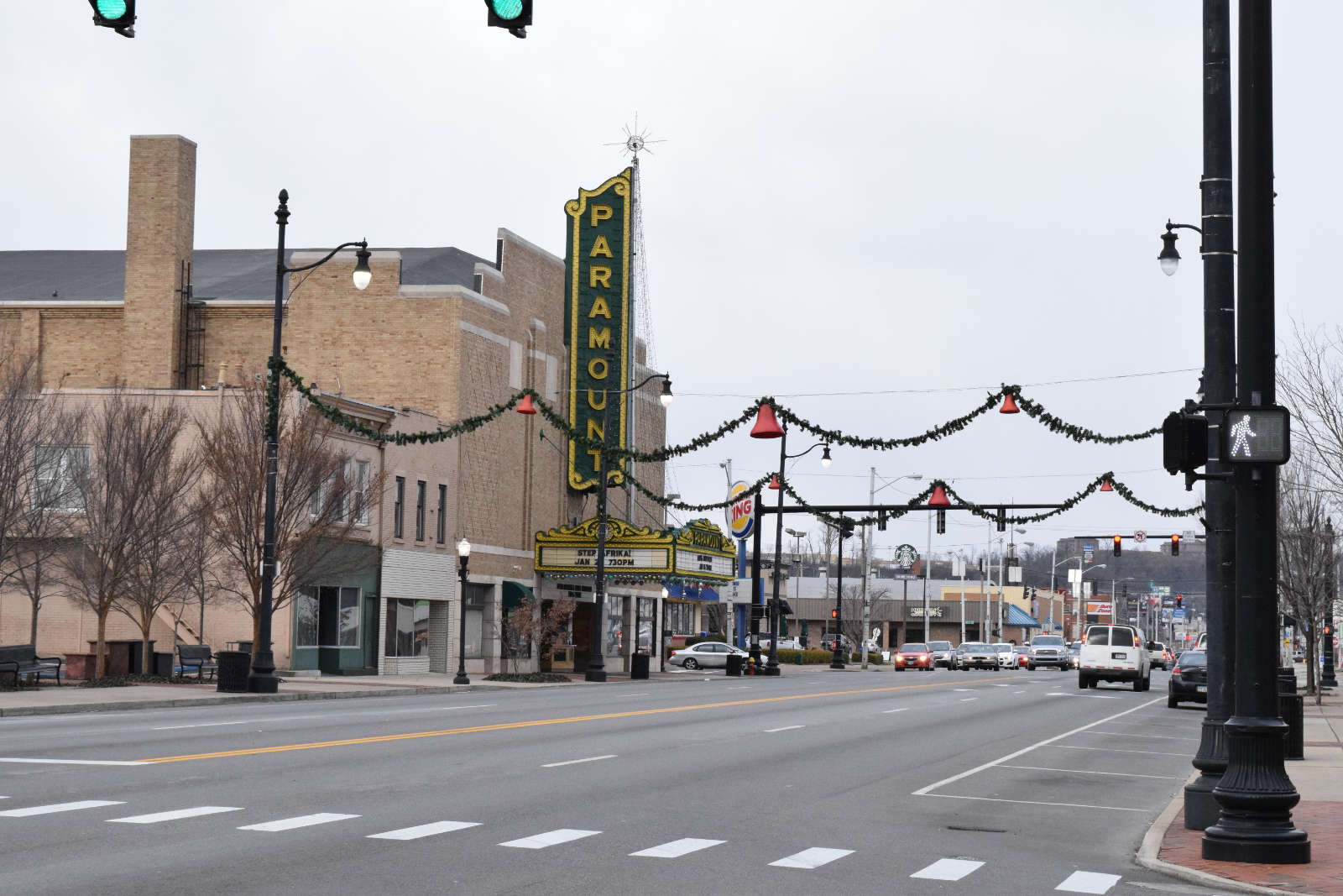
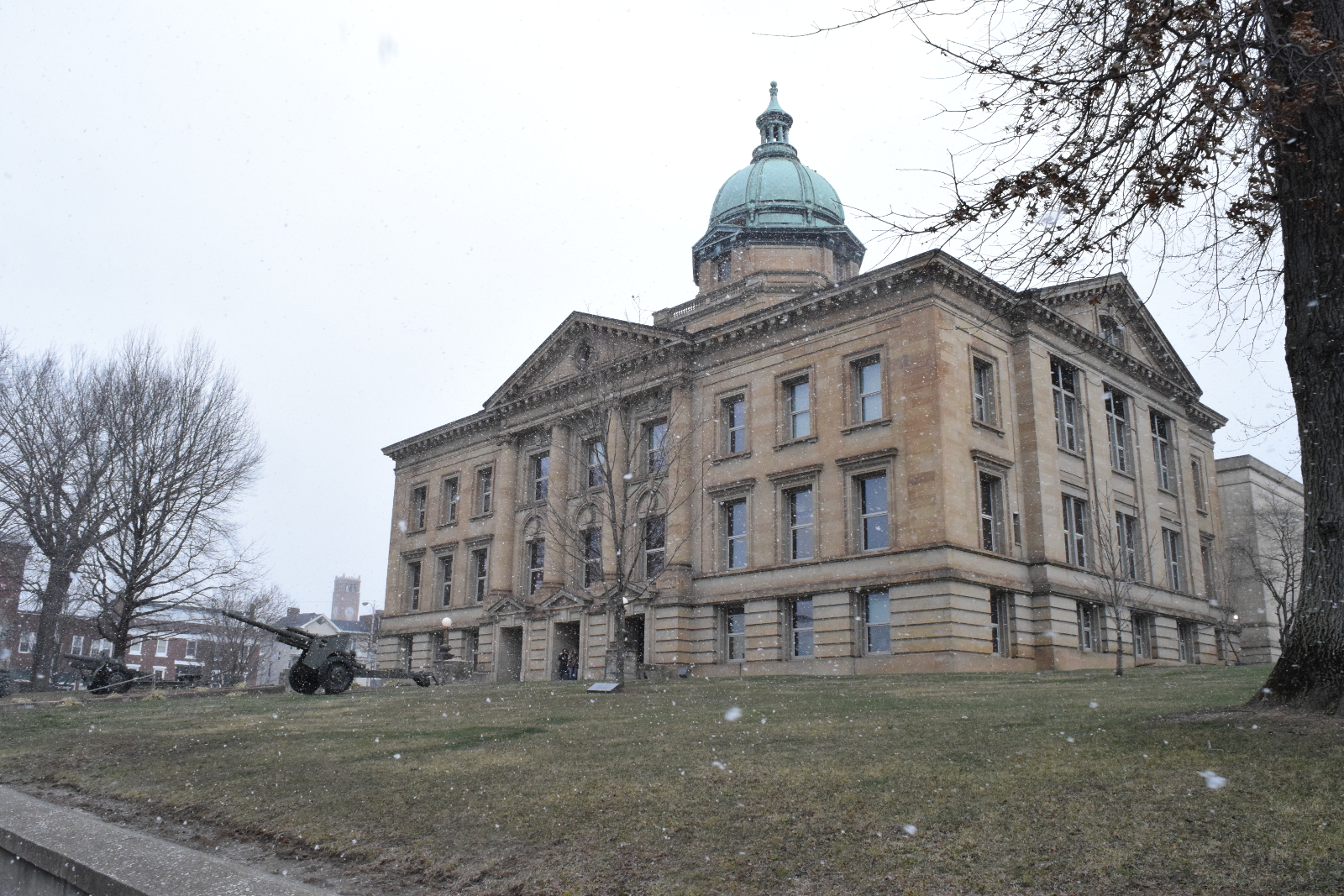
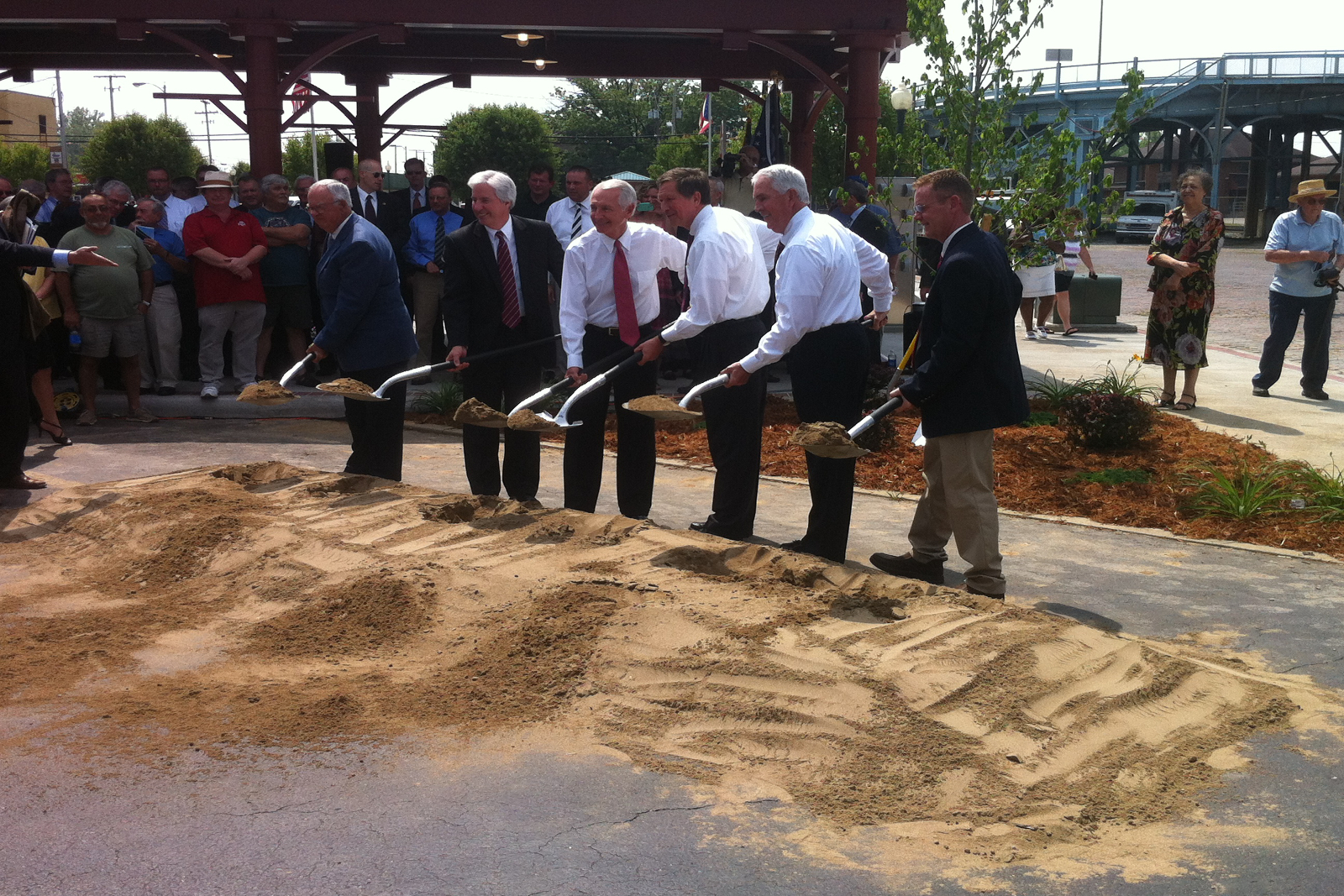
The Downtown Ashland Winchester Avenue Roundabout and Revitalization project is one of the top 12 finalists in the Nation for the American Association of State Highway and Transportation Officials (AASHTO). Now the project is in the running for the Grand Prize and the People’s Choice Award and they need your vote! A $10,000 cash prize will be awarded to be donated to a charity or transportation-related scholarship fund of the winner’s choosing.
How to vote:
- Cast your vote online Here
- Vote once per day through Monday, November 17 at 11:59 PM EST
- Winners will be announced on November 19, 2025 at the AASHTO Annual Meeting in Salt Lake City
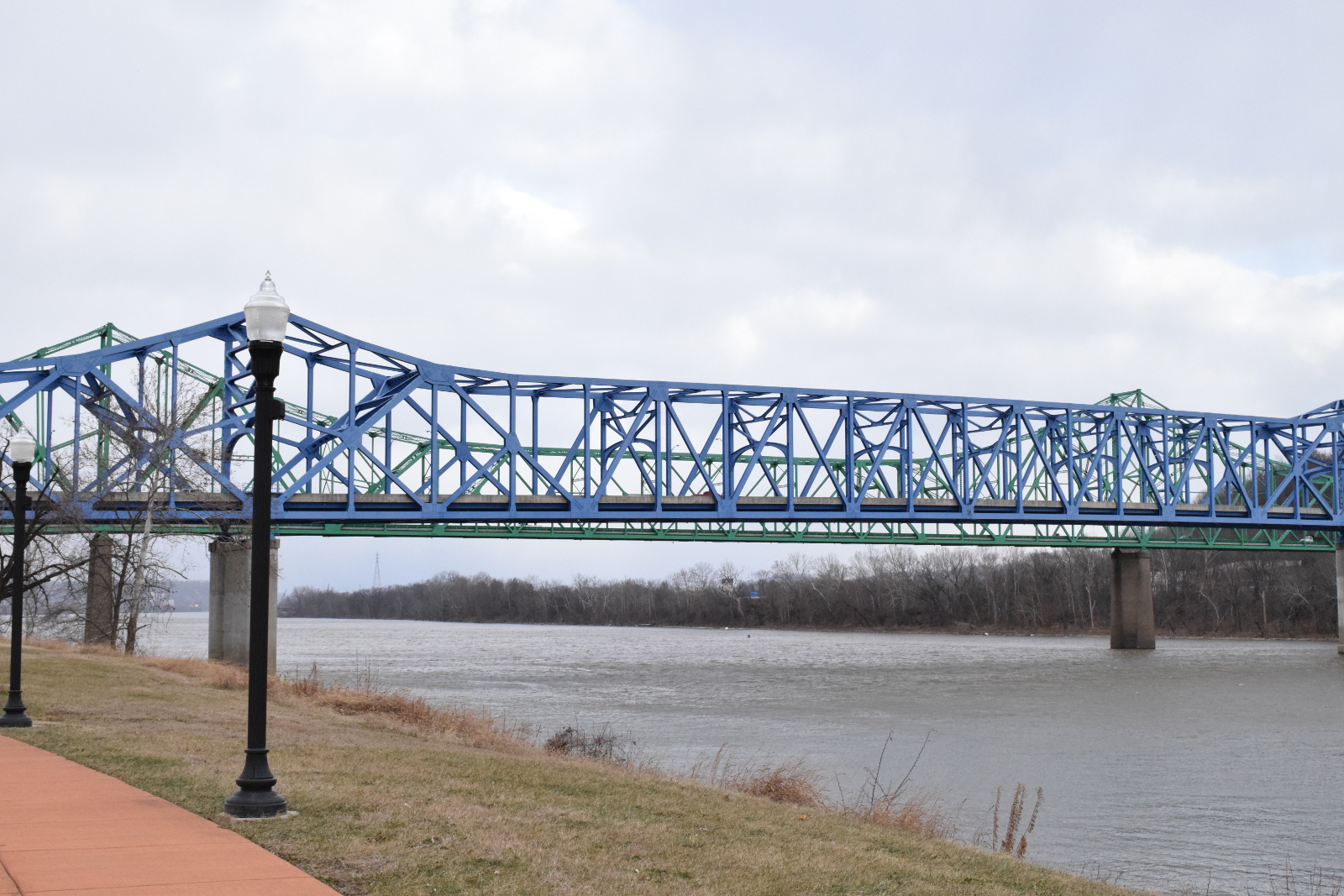
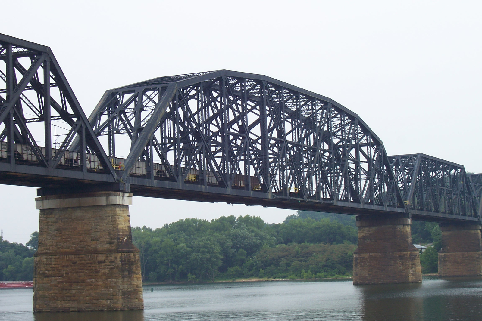
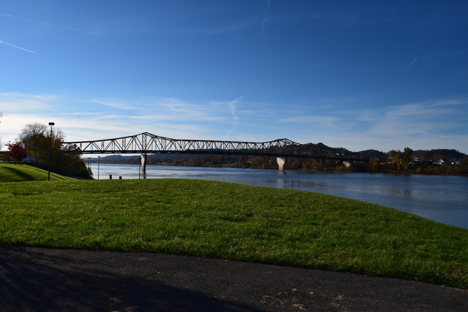
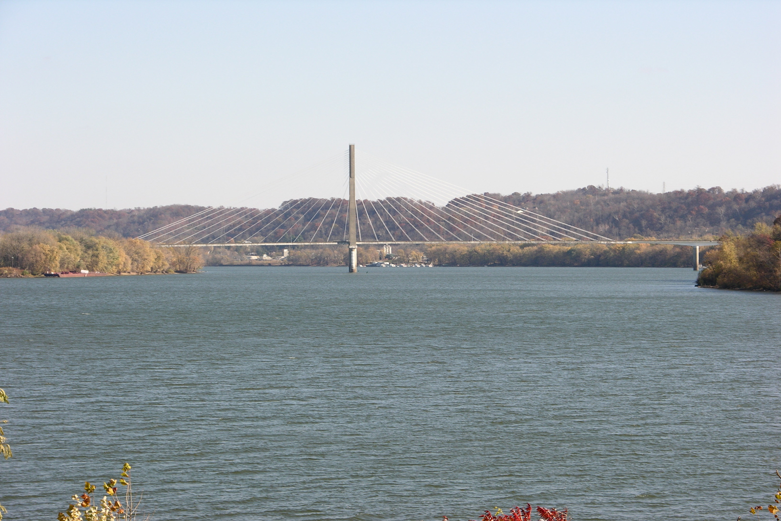
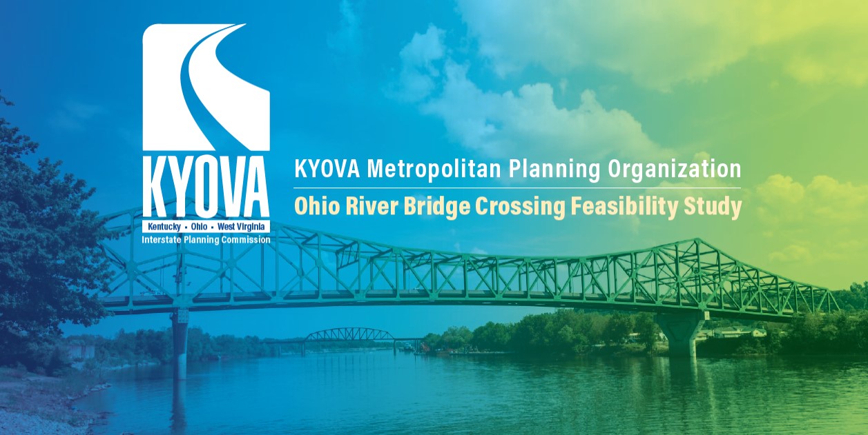 Find out more about the Ohio River Bridge Crossing Study here
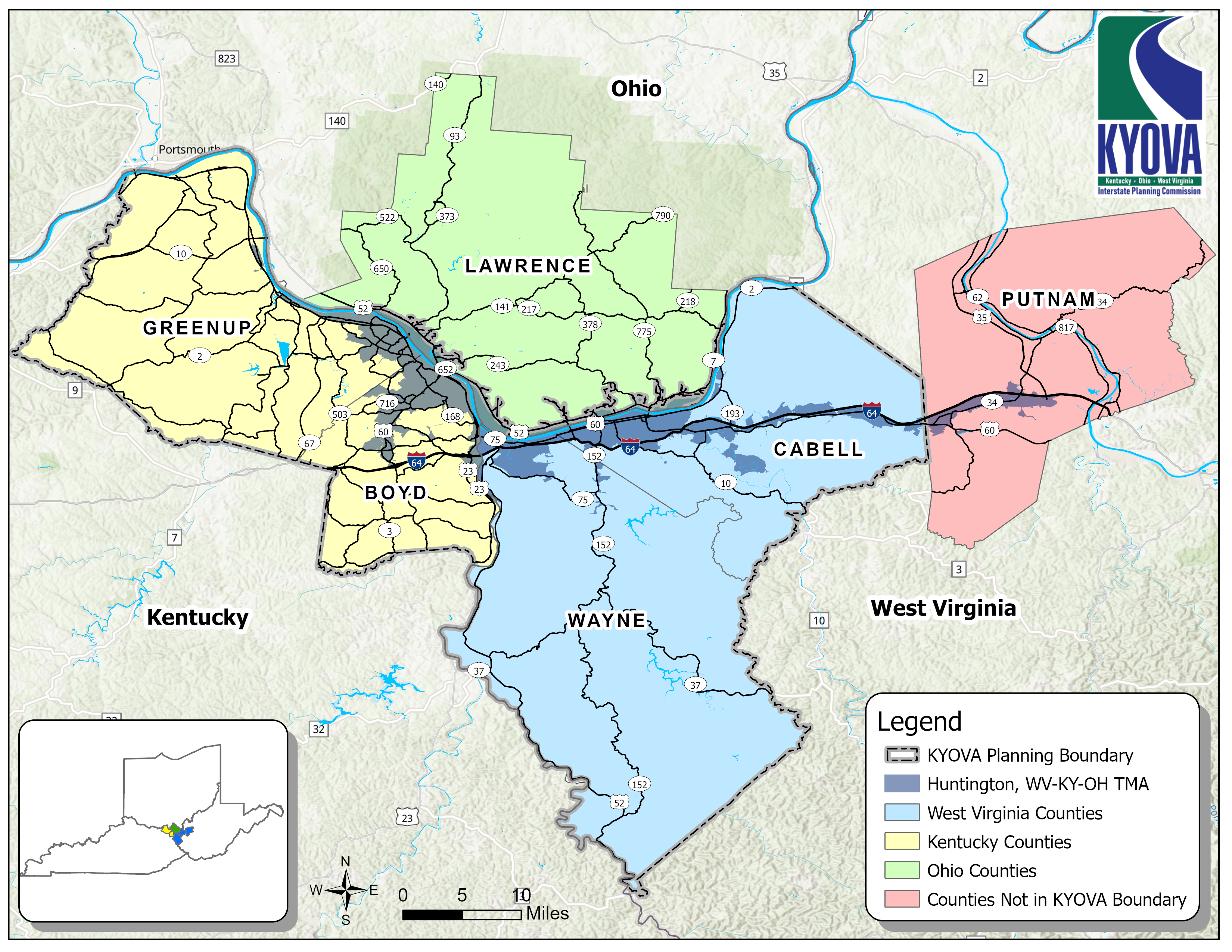
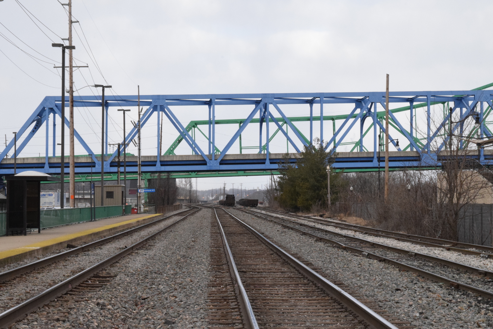
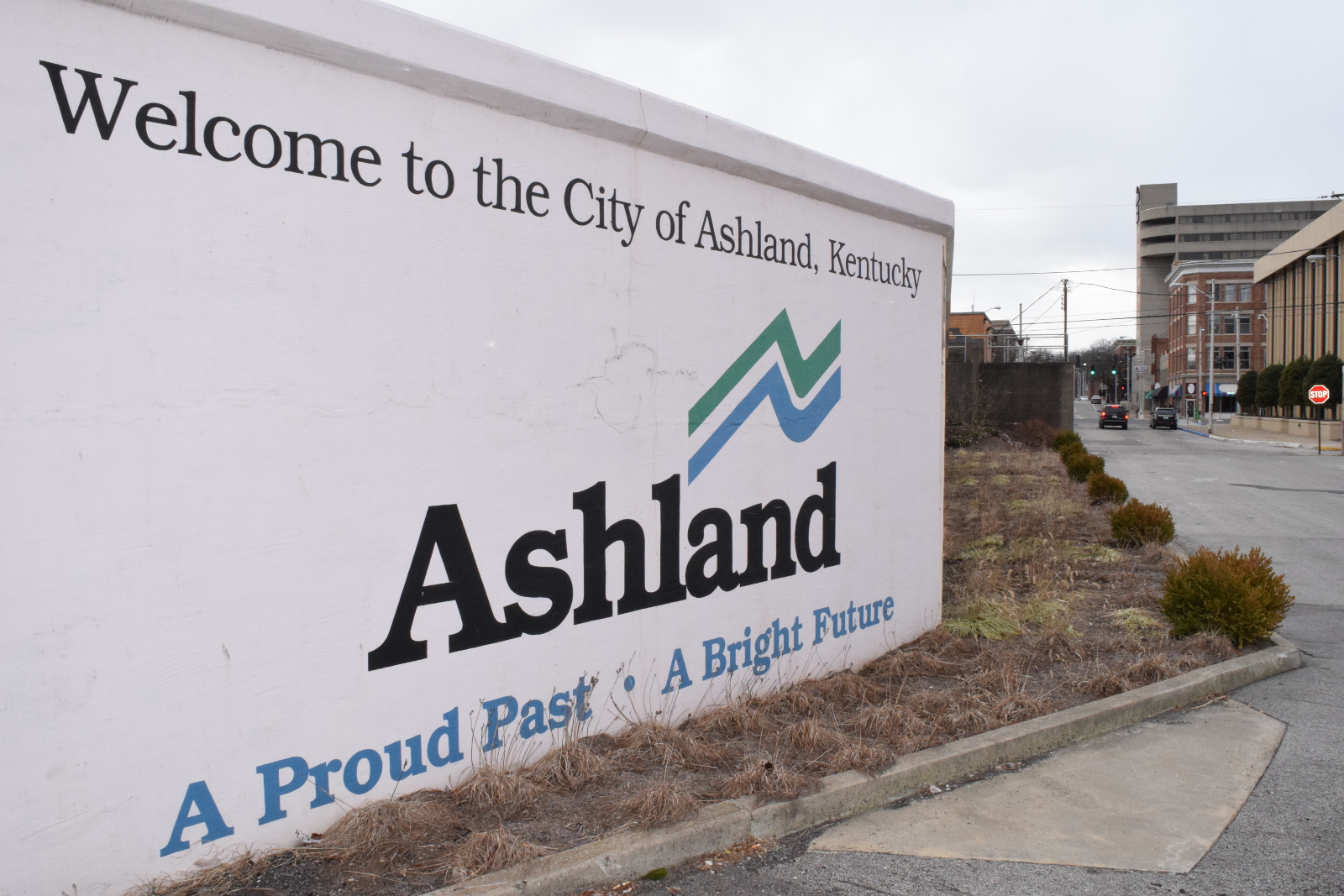
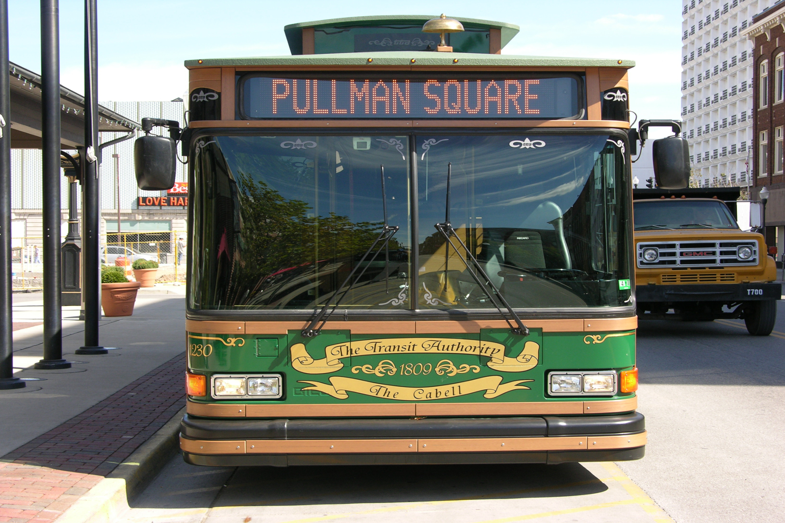
KYOVA Interstate Planning Commission is the Metropolitan Planning Organization (MPO) for the Tri-State area of West Virginia, Kentucky, and Ohio. As the MPO, KYOVA serves as a transportation planning agency and forum for regional transportation decisions. Its mission is to plan for an orderly, cost-effective, multi-modal transportation system for all citizens of the service area. With the support of local officials, the Commission plans for sound transportation improvements, which facilitate the movement of goods and people in a safe and efficient manner. The Commission's goal is to promote cooperation among members to reach consensus on matters affecting all modes of transportation. KYOVA is responsible for the annual dissemination of millions of dollars in federal transportation funds to conduct transportation-related studies and implement transportation projects. KYOVA oversees transportation planning for the West Virginia counties of Cabell and Wayne; Kentucky counties of Boyd and Greenup; and urbanized area of Lawrence County, Ohio.
Upcoming Events
KYOVA Technical Advisory Committee
• Meeting time: 10:00 a.m. to noon
• Location: KYOVA Conference Room and via Zoom**
| KYOVA Policy Committee
• Meeting time: 12:00 p.m. to 1:30 p.m.
• Location: KYOVA Conference Room and via Zoom**
|
|---|
| December 9, 2025 | December 12, 2025 |
| February 24, 2026 | February 27, 2026 |
| April 28, 2026 | May 1, 2026 |
Public Comments & Announcements
RFQ for US 52/SR 93 Storms Creek Accessibility Study
[Click Here]
RFQ for Beech Fork Connector Road Study
[Click Here]
RFQ for Barboursville CSX Underpass Drainage Study
[Click Here]
Ohio River Bridge Crossing Public Input Survey
[Click Here]
ODOT is developing the Ohio Maritime Plan to inform policy and investment decisions relating to the maritime transportation system. Click
Here for more info.
KYOVA PLANNING BOUNDARY MAP