References and Mapping

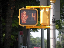
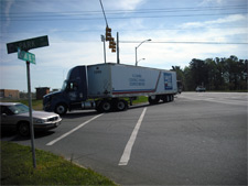
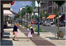
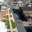
The following material will be used throughout the planning process to establish a baseline of existing conditions and assess the access, mobility and safety issues for the Downtown Huntington study area.

Comprehensive Context Maps

Comprehensive Context Map  


Huntington Area Context
Preferred Access Strategy
Regional and Local Gateways


Resource Maps

Existing Conditions Map  
Downtown Huntington Bike/Ped
Downtown Huntington LOS
Downtown Huntington Transit
Huntington Parking Count


Transportation Recommendations
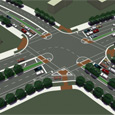
Analysis Maps  


3rd and 16th Intersection
5th and 20th Intersection
10th Street as a Green Street
Artist Rendering of Green Street
Bridge Gateway
Wayfinding Exhibit


Project Focus Areas

Project Focus Areas  


Focus Areas and Intersections
3rd and 4th Avenue Focus Area
Fourth Avenue Cross Section
Hal Greer Cross Section
Viaduct Hand Renderings


Upcoming Events